Meandering toward destinations (Denmark Day 3.5)
The instructor for this course, Rebecca Lewis of University of Oregon, wisely sets our agenda so that every day of this learning abroad course has a group activity, yet most days have only one such structured activity. This allows us to experience the city at our pace (and recover from jet lag). It also mirrors what I can see of the Danish approach to learning.
Kids here in Copenhagen seem to spend a lot of time running around and climbing all over at parks. The younger the target child age group of the space, the more likely there's a fence that has a gate that can't be opened without two hands and a bit of height. Inside the structure of the fenced area, it's pretty much anything goes. A parent is there (dad or mom or both) at a distance if needed but the kids get to experience freedom of movement and play. The older the kid, the greater the distance. This approach provides just enough structure and connection to provide a sense of safety while learning and expanding personal limits, much like our college course.
On Day 3, the structured activity was to meet and tour Copenhill in the afternoon. How we got there and where we went afterward was up to us. We all had two days of biking under our belts, mobile phone service in a pinch, and paper maps of the city. I feel fairly comfortable getting around in a city if I've a map and the location has landmarks that I can recognize. Copenhagen is fairly flat. It has a height limit on new build in the city center as to not overwhelm the old city architecture. This means buildings at 4-5 stories on average--the height we built things in cities before elevators were a thing. It also means that anything tall--like Copenhill or church spires--make great landmarks. (Copenhill is the triangle shape in the horizon to the right side of this pic. I can make it the vapor tower at the top.)
I also tend to use water ways as landmarks. Copenhagen has a lot of those, so the trick is to know which water body one is near. That day, I thought I could use some quiet time in the morning, so headed out to Langelinie. On my paper map, it wasn't clear if a bridge connected that area to Refshaleøen, which had paths and roads that I could ride to Copenhill. Alas, no bridge that far out. I had a calm, quiet, and relaxing ride out to the end of the Langelinie and back to the Kissing Bridge.
Then I turned generally north and east with the general directions in mind and keeping an eye out for Copenhill's incinerator vapor tower. With cushion built in to backtrack as needed (AKA get lost and find my way again), I took the time to enjoy the ride and take pics. Same on the way back to the City Center after the hike up Copenhill.
Having the freedom to go at my own place and the challenge of finding my way greatly increased my sense of relaxation and achievement. I knew I could text or call for help if essential, but I appreciated the opportunity to try it myself. It increased my confidence for exploring other parts of the city on my own.
But, for now, a bunch of pictures! This set is from the ride out to Copenhill.
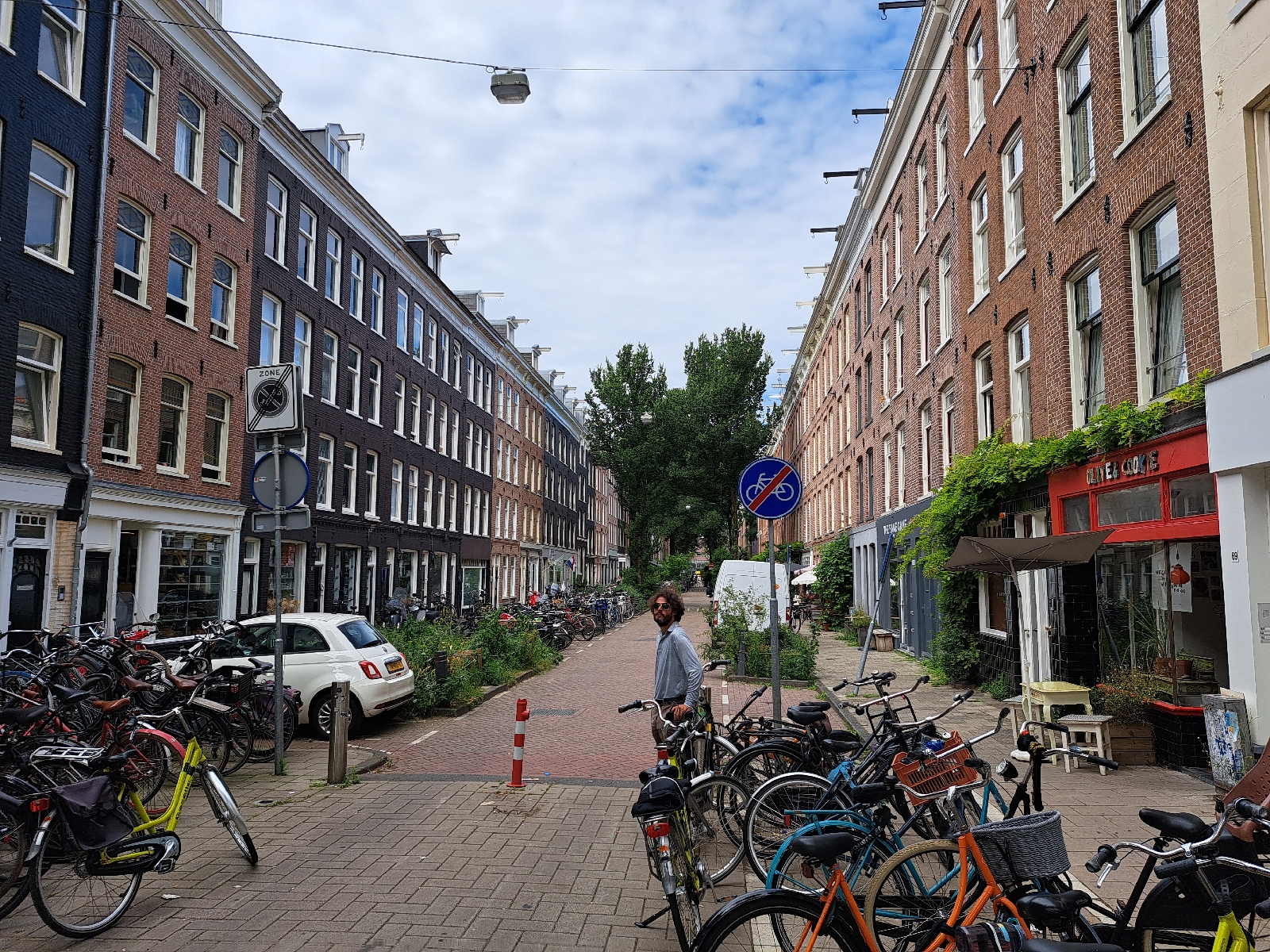
On the way: A residential building next to, you guessed it, a park! People clearly use their bikes for day to day errands in this neighborhood. It's easy to see how that's the sensible mode of getting around in the area.
Some cool old building a short distance from the residential area with the park.
Farther out, a pair of ducks building their nest.
An intersection on the way that shows how simple the design can be to make a place more comfortable and safe to bike.
The routes:
Next up: Parks and playgrounds
Random pic of the day: A flock of two lambs (?), and a train on my ride back.


Comments
Post a Comment