A Fietserbond (Bike Union) bike tour of Amsterdam (Day 24 Netherlands)
The day kicked off with a bike tour led by Marjolein de Lange of Fietserbond, the cyclists' union. (Yes, the bicyclists union is real there, not just a cheeky Twitty account.) I took away three main concepts.
1) "A bike policy is not something you do once."
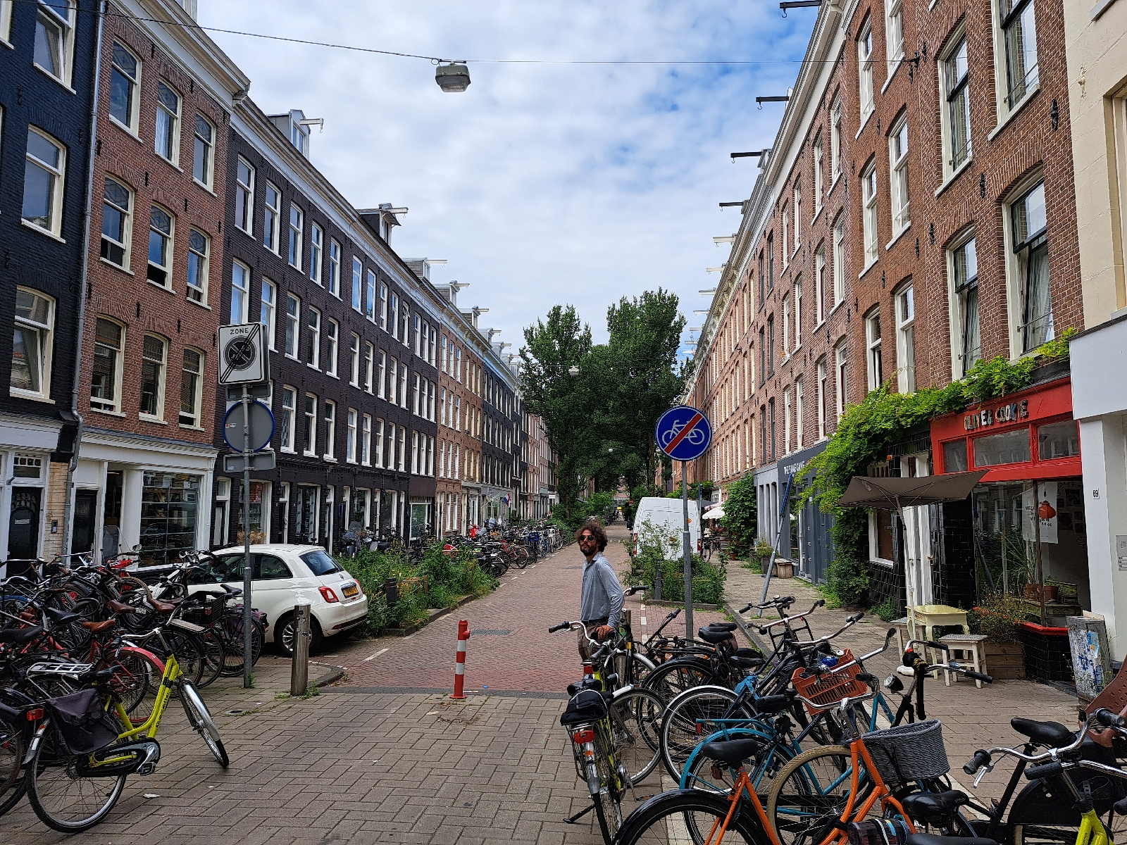
2) Sustainable road safety requires a street design that fits the intended uses of the street.

The physical design of the street itself--not simply signs or lane stripes--must indicate to drivers to drive safe speeds (ie. how to behave). For example, in the picture above, the lane itself is narrow yes, beyond that, however, the brick gutter visually makes the available car space seem more narrow, and the trees on either side also make the space feel more narrow such that drivers automatically drive slower than they would if the surface was edge to edge monocolored asphalt with no trees. The color of this asphalt also indicates that it's a bike street.
3) Spatial planning includes transportation planning.

Transportation starts and ends on land, often taking place in land as well. Transportation is a land use in and of itself. Transportation infrastructure also affects the possibilities of land use and visa versa. If housing and food stores, for example, are spaced so far apart that walking or biking to pick up a few things every couple of days becomes unappealing (or treacherous), people will turn to other available transportation modes like driving. This basic human behavior needs to be considered when planning and building in locations for new and redeveloped housing, commercial, and other uses.
We pedalled around Amsterdam with Marjolein showing us examples of the takeaways above (and more!). We ended at a large public park to snag lunch and rest. After a lunch break, we met briefly with Dr. Meredith Glaser of Amsterdam University to receive our homework--the PUMA game.
Next up: Amsterdam through PUMA eyes
Random pic of the day: The looong hallway of the car parking under the giant public park where we lunched.


Comments
Post a Comment